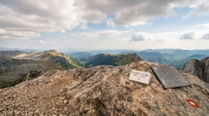
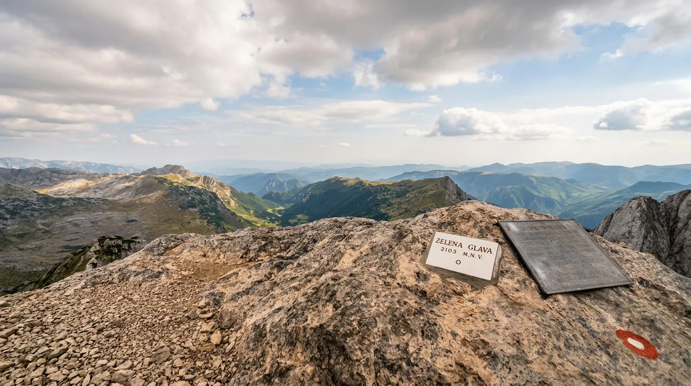
Zelena Glava


Description
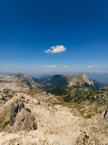
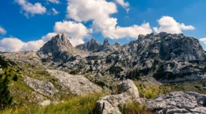
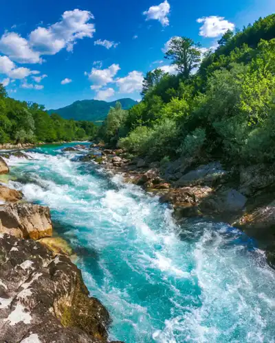
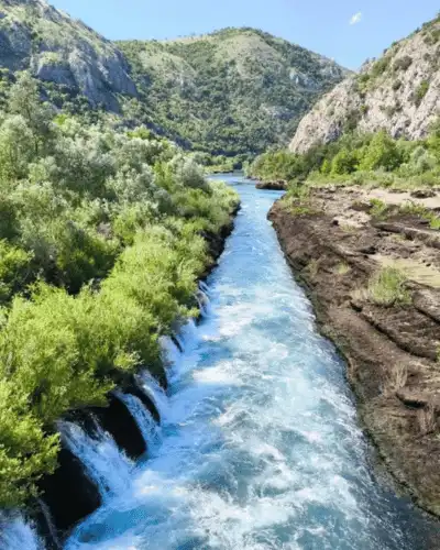
Prenj, also known as the Herzegovinian Himalayas, is one of the wildest mountains in Bosnia and Herzegovina. Its massif rises abruptly above the Neretva valley, creating a dramatic difference in elevation. The landscapes are unexpectedly alpine – glacial valleys, limestone cliffs, dwarf pines and small pines – giving Prenj a character entirely its own.
The highest peak is Zelena Glava, whose height is given in sources as between 2,103 and 2,155 meters. The massif is divided into Central Prenj, with the peaks Zelena Glava, Otiš and Velika Kapa, and Western Prenj, with Lupoglav, Herč and Vjetreno Brdo. The starting point for the central part is Konjic, and for the western part the main road Jablanica–Mostar. Mine danger is marked on certain sections of the mountain – it is essential to strictly follow the marked trails. Prenj is a mountain for experienced hikers and a true paradise for those seeking an alpine experience in the Balkans.
A mountain of its own nature
Prenj is a mountain that surprises even experienced hikers. Seen from the Neretva valley, it reveals a massif that drops steeply toward the river without warning, creating one of the greatest elevation differences in the Dinarides. As soon as you enter the mountain, the landscape changes character: limestone formations, mountain shelters, saddles between twin peaks, and a silence rarely matched anywhere else. The ridge walk between Zelena Glava and Otiš, with views of Tisovica and the rest of the mountain range, is one of the most beautiful hiking experiences in the region. The view of Prenj from Tisovica is unmatched.
Practical for climbing Zelena Glava
Mine danger: near Vilin klanac, follow the trail marked with tape; near the mountain lodge Vrutak – caution!