Pogledala Viewpoint


Description
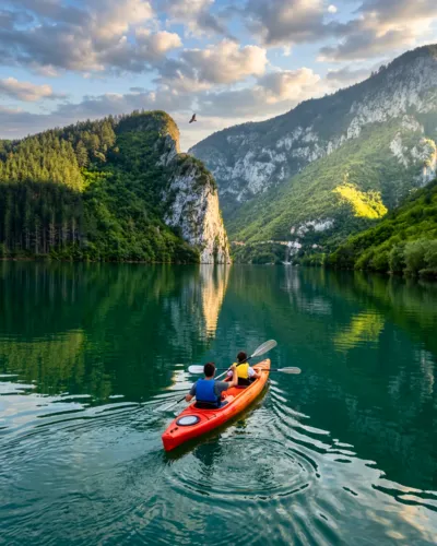
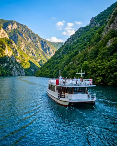
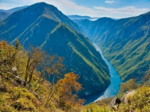
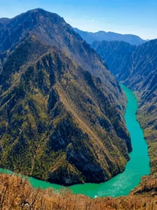
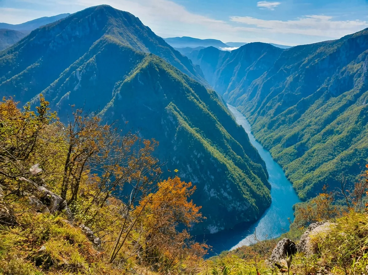
Where the Drina cuts fiercely between the Zvijezda and Tara mountains, nature has carved its most beautiful canyon, creating scenes that seem almost unreal. Along this stretch, far from well-trodden tourist paths, lies the Pogledala viewpoint – a place offering a superb view of the remarkable river bend and the endless greenery of Sušica Mountain.
The climb to this hidden gem leads through a dense, wild forest. From Pogledala, the Drina Canyon reveals itself in all its untouched power, without a single visible scar of civilization. It is one of those rare corners of nature that takes your breath away and makes you wonder how such beauty, within easy reach, can still remain a secret reserved only for the most persistent explorers.
A breathtaking view
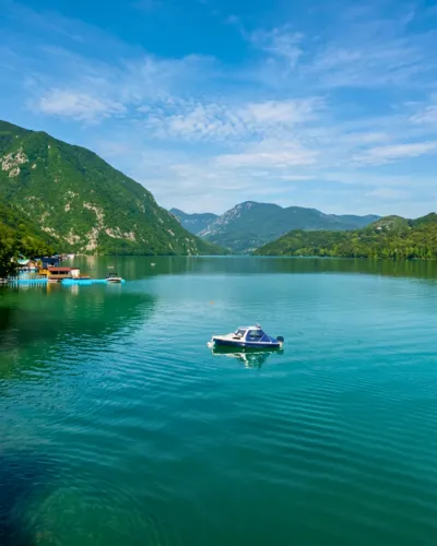
Pogledala is the point where Bosnia and Serbia share the same river — and that river does something rarely seen. The Drina, trapped between Zvijezda on the Serbian side and Sušica on the Bosnian side, makes a dramatic turn and a meander that looks as if it were drawn by hand from the viewpoint.
Native forests on both sides, with no visible trace of human intervention, and a clear river deep in the canyon — this is a sight that was long preserved only for those who knew how to reach it. Now, with the marked ridge trail of Drina National Park, that view is within reach for anyone with good legs and hiking experience.
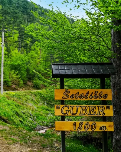
How to get there from the Bosnian side?
No tourist infrastructure: Hiking experience, sturdy footwear, enough water, and a GPS device are recommended.

Learn more and view the map for directions
For more information about access to the viewpoint, photos, and the map itself with a detailed explanation, see linku.