

Treskavica





Description
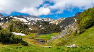
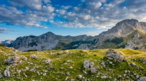
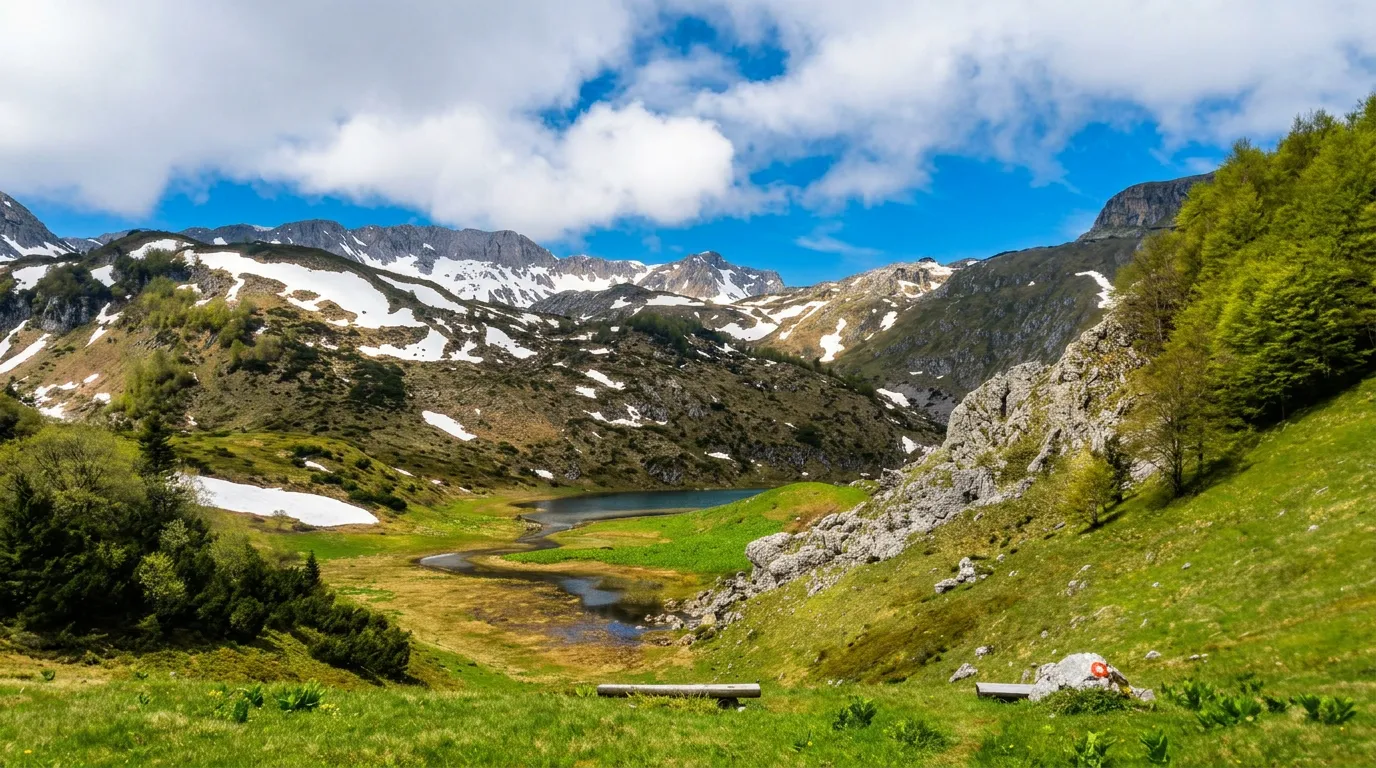
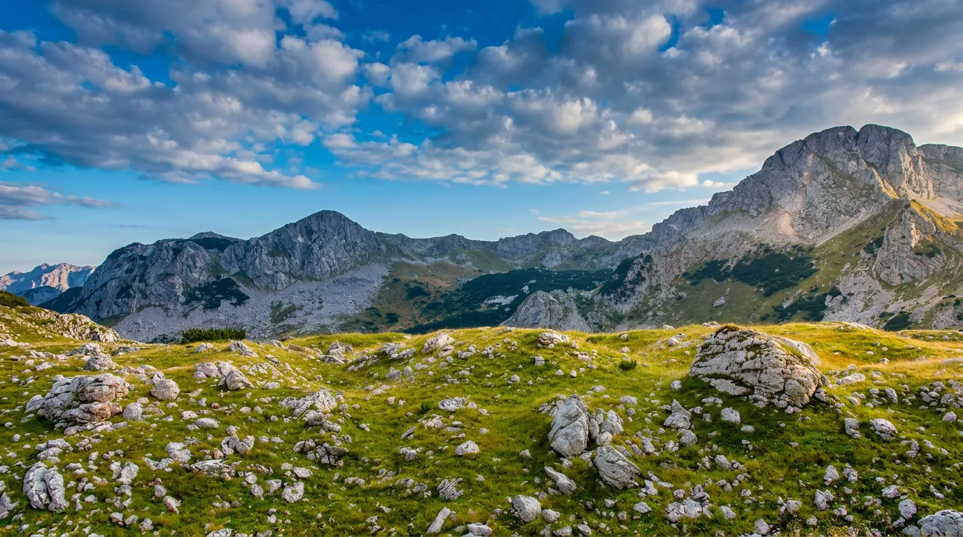
Treskavica is a mountain beauty in central Bosnia and Herzegovina, located just 30 kilometers from Sarajevo, whose southern slopes descend towards Herzegovina near Kalinovik. It is part of the Dinaric mountain range, and it got its name from the frequent minor earthquakes that have characterized the area. The highest peak reaches 2,088 meters above sea level and bears three names—Paklijaš, Đokin Toranj, and Mala Ćaba—each with its own story rooted in history, hiking, and local tradition. Nearby are the peaks of Suve Lastve (2,000 m) and Oblik (1,876 m), while the cliffs of Treskača, Zubova, and Ćabenskih stijena offer numerous alpine routes for experienced climbers.
The mountain is divided into the Bosnian Treskavica in the north and the Hercegovinian one in the south, and thanks to enthusiasts and hikers who have arranged and marked safe trails, it is now accessible to all lovers of mountain nature. Raw, mysterious, and unexplored—Treskavica rewards anyone who decides to get to know it.
A mountain with three names for its peak
The peak of Treskavica at 2,088 meters has three names at the same time. Hikers from one direction call it Paklijaš — after the inaccessibility of the terrain south of the summit. Others call it Đokin toranj, after the architect and mountaineer Đoko, who came up with the idea of building a metal shelter at the very top, of which only the steel doors remain today. The third name, Mala ćaba, is historical — it is the old name used by locals from the surrounding villages since ancient times, linked to the religious custom of visiting the summit on a certain day of the year. Three names, one peak, and each tells its own story.
365 springs and five rivers
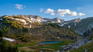
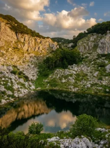
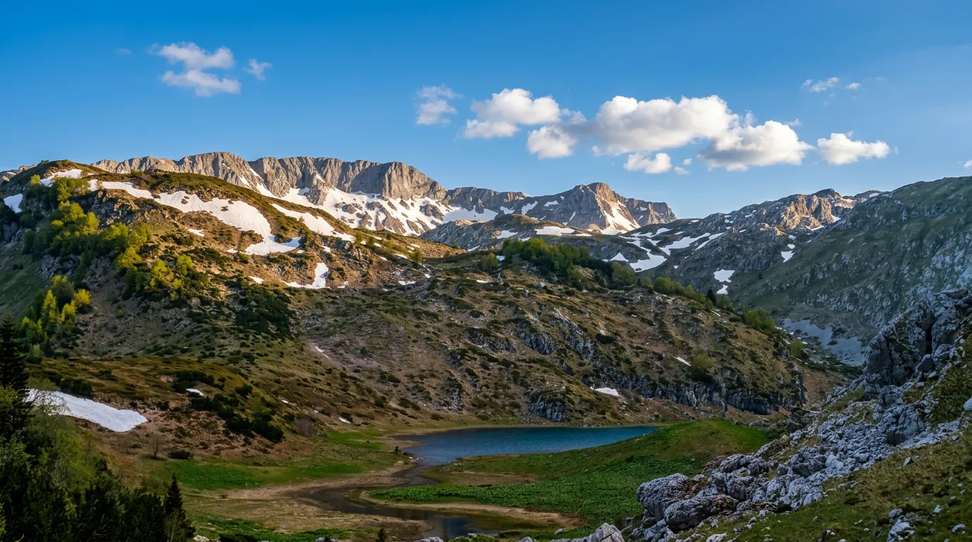
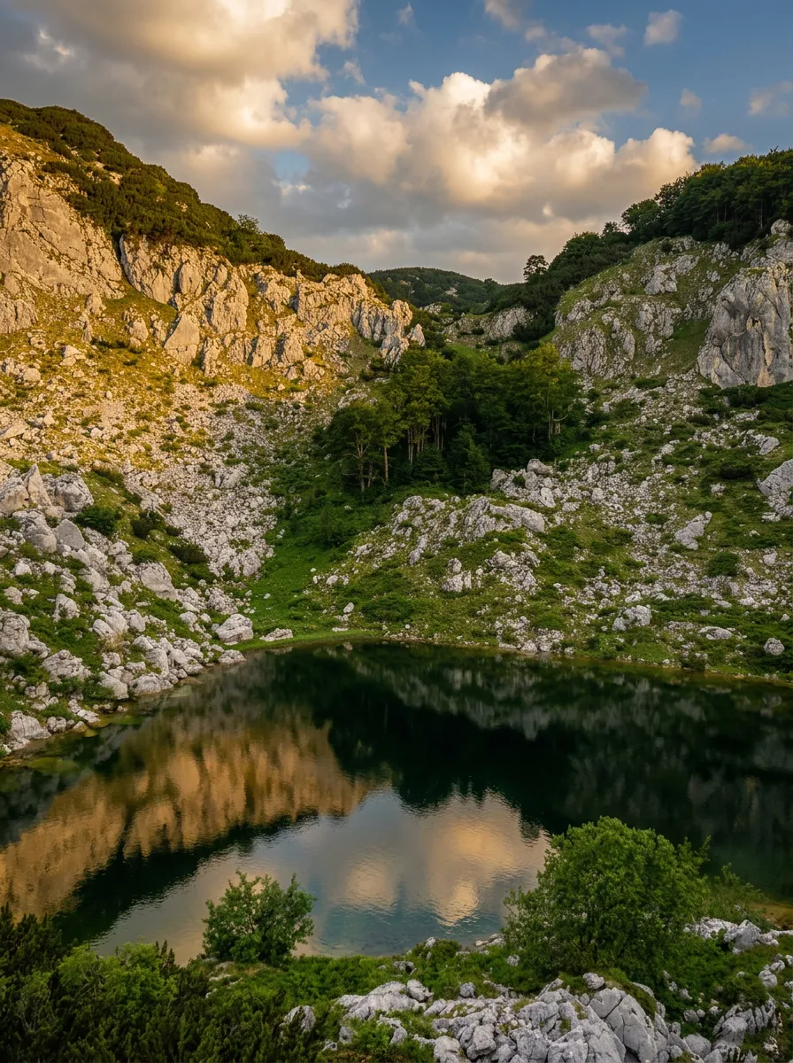
Treskavica is, for a karst mountain, unusually rich in water. According to legend, the mountain has as many as 365 springs — one for each day of the year. Five rivers begin on its slopes: Željeznica, Bistrica, Ljuta, Bijela and Rakitnica. This hydrological abundance also explains the wealth of glacial lakes scattered across the mountain — Veliko, Crno, Bijelo, Platno and Malo — of which only Veliko, located at 1,548 meters, was successfully stocked with trout in the mid-20th century.
Two faces of one mountain
No other Bosnian mountain shows such a strong contrast between north and south as Treskavica. The northern slopes, known as Bosanska or Trnovska Treskavica, are green and gentle, covered in lush vegetation. The southern slopes, which descend toward Herzegovina near Kalinovik — Hercegovačka or Kalinovačka Treskavica — are harsh karst and barren rock, unmistakably mountain wilderness. This difference is no coincidence: on Treskavica, Mediterranean currents from the south and continental ones from the north collide, causing frequent and sudden weather changes, even the experience of four seasons in a single day.
Access and mountaineering
The most suitable access to Treskavica is from the village of Turovi, four kilometers from Trnovo. The trail is marked and leads to the mountain lodge and campsite Sustavac, from where it continues toward Veliko jezero — another hour and a half on foot. Another access point is from the mountain lodge Vrela in Tušila, in the settlement of Sinanovići. For climbers, the cliffs of Treskača, Zubova, Oblika, Ćabenske and Nikoline stijene offer a large number of climbed routes.
There are unexploded ordnance on the mountain — movement is safe only on marked trails and with prior information from locals or mountaineering clubs.