Visočica Mountain


Description
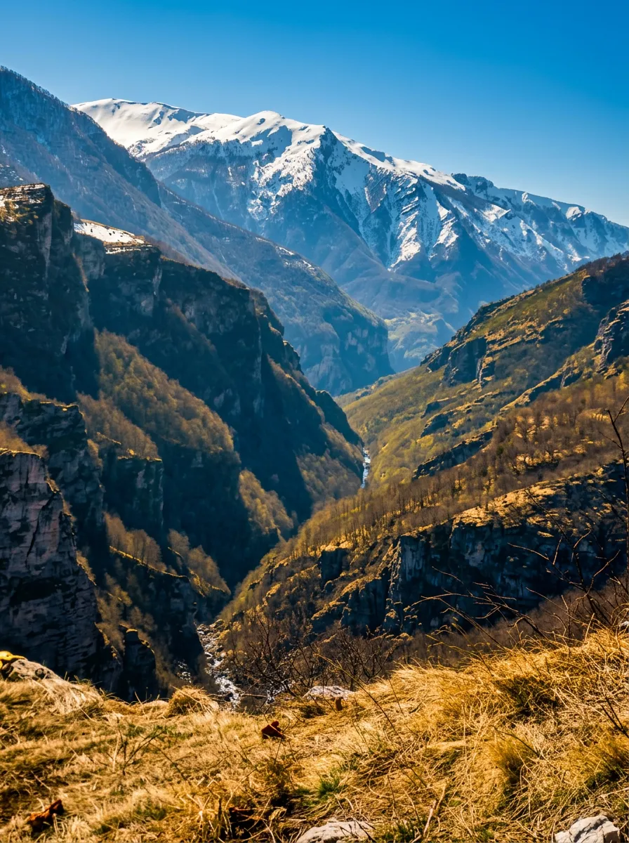
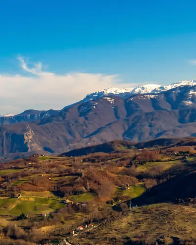
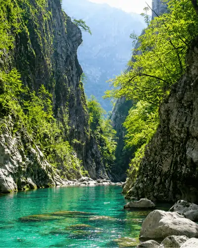
Visočica is a mountain on the natural border of Bosnia and Herzegovina, surrounded by canyons and rivers that separate it from neighboring mountain giants. To the east, the Ljuta River separates it from Treskavica; to the south and southwest, the Neretva separates it from Prenj; and to the west and north, the Rakitnica Canyon separates it from Bjelašnica. Its highest peak, Džamija, reaches 1,967 meters, and a series of peaks rises above or around 1,900 meters, from Vito and Veliki Ljeljan to Drstvo.
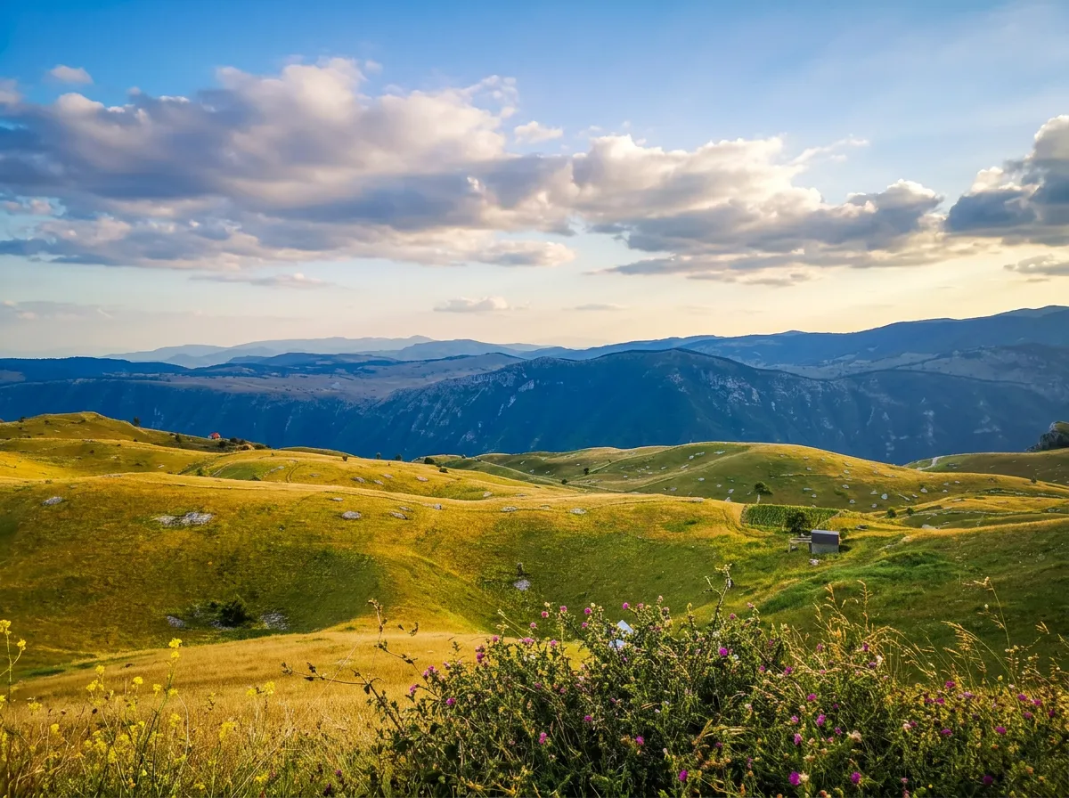
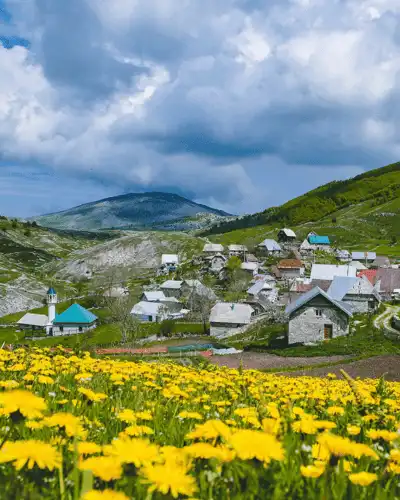
The mountain is known for its wide flower-filled meadows, spring lakes formed by the sudden melting of snow, and wild horses grazing freely across the open landscape. Ridge walks between the peaks, especially the section between Drstvo and Vito, offer a true high-mountain experience with thrilling views of the Rakitnica Canyon. Visočica is part of the popular panoramic road from Sarajevo toward Bjelimići and Konjic, and its heart can be reached in just about forty minutes’ drive from central Sarajevo.
Warning: the area around the summit of Puzim is mined – do not go without a guide!!
Along the ridges above the canyon
What sets Visočica apart from most Bosnian mountains is the combination of gently rounded meadow ridges and the steep drop-offs of the canyon that frames it on three sides. The ridge walk between the peaks of Drstvo and Vito is an experience in itself: it follows a narrow edge above the Rakitnica Canyon, with Bjelašnica on one side and the canyon on the other, creating a feeling of almost unbelievable openness.
Spring on Visočica has its own special charm – as the snow melts rapidly, lakes form in which the surrounding peaks are reflected, and flower-filled meadows crisscrossed by horse tracks stir the imagination. Along the trails, you may also come across true mountain silauri – wild horses that have always been a hallmark of this massif.
Practical info & access